Choosing between beachside and mainland living in Brevard County can feel like two great options pulling you in different directions. You want the sun, sand and coastal vibe, but you also value budget, commute predictability, and practical costs like insurance and maintenance. In this guide, you’ll get clear, side‑by‑side context on prices, flood and wind exposure, commute patterns, schools, and home styles so you can decide with confidence. Let’s dive in.
Beachside vs. mainland: what areas mean
Beachside towns and corridors
Beachside refers to the Atlantic barrier‑island strip along A1A that includes Cocoa Beach, Cape Canaveral/Port Canaveral, Satellite Beach, Indian Harbour Beach, Indialantic, Melbourne Beach, and the City of Melbourne’s beachside neighborhoods. These areas sit east of the Indian River Lagoon and are closest to oceanfront parks, surf breaks, and walkable coastal amenities.
Mainland communities
Mainland includes the west side of the Indian River Lagoon and interior corridors such as Melbourne, West Melbourne, Palm Bay, Rockledge, Titusville, and master‑planned areas like Viera. These neighborhoods generally offer larger lots, easier access to I‑95 and regional roads, and more inventory across price points.
Getting across the lagoon
Daily life often runs through the causeways that connect beachside and mainland. Common crossings include SR 520, SR 404/Pineda, SR 518/Eau Gallie, and US‑192. These crossings are predictable pinch points during peak hours and weather events. Review the county’s east‑west connectors to understand your likely routes using the overview of local transportation corridors in Transportation in Brevard County. (Transportation in Brevard County)
Home prices at a glance
Brevard County’s single‑family median sale price has hovered in the mid‑$300,000s in recent monthly reports, roughly around $370,000 to $385,000 in 2024 through early 2026, according to the Space Coast MLS. Always match a number to the month and source because medians move with inventory and methodology. (Space Coast MLS monthly statistics)
Here’s the broad pattern you’ll see in the data:
- Beachside: Barrier‑island cities often post higher medians than the county overall, reflecting proximity to the beach, oceanfront and riverfront homes, and a larger share of condos in some towns. Monthly medians can vary by season and limited inventory in smaller markets.
- Mainland: City medians west of the lagoon often run lower than beachside, with wide ranges by neighborhood and new‑construction activity. Larger lot sizes and master‑planned communities create options at different price tiers.
What to remember about price data:
- Always label the source and date. City medians differ depending on whether you’re looking at MLS sold prices, an index, or active listings. The Space Coast MLS monthly releases are your most direct snapshot of sold medians for the county and its cities.
Flood and wind risk: know the differences
Flood zones and insurance
Barrier‑island properties are more likely to fall within FEMA’s VE/V or AE flood zones, which indicate higher surge and wave hazards. Mainland homes more often sit in AE or X zones, though low‑lying riverfront and canal areas can still be at risk. Flood risk is address‑specific. Verify the exact parcel using FEMA’s National Flood Hazard Layer and the county’s GIS resources. (FEMA NFHL address lookup)
Under FEMA’s Risk Rating 2.0, flood insurance pricing is tailored to the property. Distance to water, first‑floor elevation, foundation type, and building value all matter, so two homes on nearby streets may see very different premiums. If a home with a federally backed mortgage lies within a Special Flood Hazard Area (A or V zone), the lender will require flood insurance. Review FEMA’s overview of how pricing works so you can get a realistic quote early. (FEMA Risk Rating 2.0 overview)
Wind‑borne debris and code
Brevard is not in Florida’s High‑Velocity Hurricane Zone, but coastal areas fall within a Wind‑Borne Debris Region, which affects impact protection requirements for doors and windows. That influences retrofit costs and product selections for coastal homes. For background, see state‑level materials on Florida’s wind design regions and code interpretations. (Florida Building Commission reference)
Coastal construction details
Newer or elevated beachside homes may be built on pilings or open foundations, with corrosion‑resistant connectors and materials designed to handle surge and wave action. These details influence permitting, engineering, and insurance. For a plain‑English overview of why coastal homes are elevated and what to look for during due diligence, the FEMA Coastal Construction Manual is a practical resource. (FEMA P‑55 Coastal Construction Manual)
Commute, traffic, and daily routines
Average travel times give helpful context for day‑to‑day life. Based on recent American Community Survey estimates, mean commute times are typically about 27–28 minutes in Satellite Beach, 25–26 minutes in Cocoa Beach, 22–23 minutes in Melbourne, 27–28 minutes in Palm Bay, and roughly 24 minutes in Titusville. These are citywide averages, not door‑to‑door times from a given neighborhood, but they show the pattern: beachside towns often run a bit longer because you must cross a causeway. (U.S. Census QuickFacts, city commute estimates)
A practical tip: test your commute at both peak and off‑peak times, especially the causeway you would depend on. Because there are only so many east‑west crossings, a single incident can add minutes to your drive. Review key connectors and typical bottlenecks before you pick a side of the lagoon. (Transportation in Brevard County)
Schools: how to compare beachside and mainland
Brevard Public Schools recently reported an A rating for the 2024–2025 cycle, according to local coverage, and the district posts updates on school recognitions and resources. Always verify school assignments by property address and check the latest school information directly with the district. (District update on ratings and recognition, Brevard Public Schools resources)
What this means for your search:
- Treat school quality as address‑specific. Beachside schools may offer specialized programs, while mainland areas like Viera and West Melbourne include several highly regarded neighborhood schools and charters. Check the latest grades and boundaries rather than assuming quality by town name.
Home styles, maintenance, and insurance
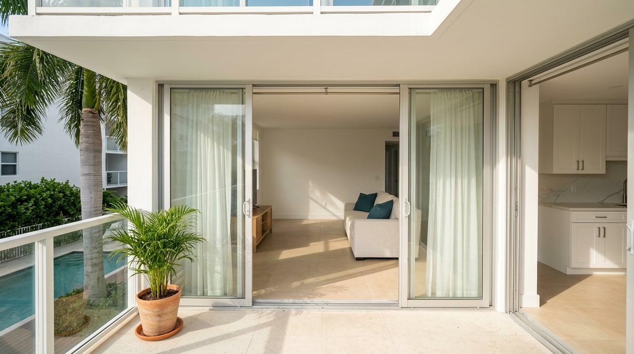
Beachside characteristics
You’ll see mid‑century cottages, stilt or piling homes, oceanfront customs, and a higher share of condos in some towns. Salt air, roof exposure, decking, and coastal landscaping tend to increase ongoing maintenance. Elevated homes often reflect flood‑elevation requirements summarized in FEMA’s coastal guidance. (FEMA P‑55 Coastal Construction Manual)
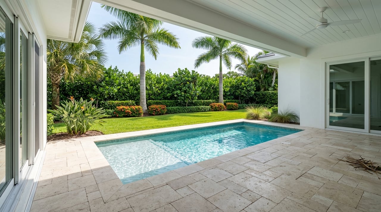
Mainland characteristics
Mainland neighborhoods lean toward one‑story ranch and slab‑on‑grade homes, newer tract communities, and larger lots. Maintenance is typically more “suburban standard,” though canal or riverfront lots still carry added considerations.
Insurance implications
Beachside properties more frequently sit in higher‑risk flood zones and may show higher NFIP and wind insurance costs. Because Flood Risk Rating 2.0 is property‑specific, get quotes tied to the exact address and elevation certificate rather than relying on listing assumptions. (FEMA Risk Rating 2.0 overview)
Quick pros and cons
Beachside: what you gain and give up
- Pros: Immediate beach access, coastal lifestyle, strong views, and walkability in many towns.
- Cons: Higher purchase price per square foot, higher potential flood/wind insurance and maintenance, evacuation logistics, and seasonal traffic.
Mainland: what you gain and give up
- Pros: Larger lots, generally lower entry price, more inventory across price ranges, and easier access to I‑95, grocery, medical, and many schools.
- Cons: Longer drives to the beach for daily activities; flood risk still possible near canals and riverfronts.
How to decide: a simple checklist for Brevard buyers
Use this step‑by‑step process to compare a beachside and mainland shortlist on equal footing:
Confirm flood risk at the address level. Look up each property on FEMA’s National Flood Hazard Layer. Save the panel number and zone. (FEMA NFHL)
Pull the county parcel record and maps. Review lot elevation notes, improvements, and neighborhood context through the Brevard County GIS/open data hub. (Brevard parcel and GIS resources)
Get insurance quotes early. Ask for a flood and wind quote tied to the address and, if available, an elevation certificate. Use FEMA’s Risk Rating 2.0 overview to understand why quotes differ by home. (FEMA Risk Rating 2.0 overview)
Verify schools by address. Use Brevard Public Schools resources to confirm attendance zones and review the latest updates on school performance. (Brevard Public Schools resources)
Test the commute at peak times. Drive your likely causeway crossing during rush hour and after work. Check key connectors in the county’s transportation overview for common choke points. (Transportation in Brevard County)
For oceanfront or elevated builds, consult a coastal‑construction expert. Ask about pilings, connectors, corrosion mitigation, and expected maintenance informed by FEMA’s coastal guidance. (FEMA P‑55 Coastal Construction Manual)
When you’re ready to compare specific neighborhoods or line up address‑level due diligence, connect with a local pro who can quarterback the process and keep your decision clear and calm. If you’d like a boutique, bilingual, concierge approach to your Florida move, reach out to Julieta Bruni for a friendly, no‑pressure consult.
FAQs
What is the county median home price in Brevard?
- Recent Space Coast MLS reports placed the single‑family median around $370,000 to $385,000 in 2024 through early 2026, but always check the latest monthly release for current numbers. (Space Coast MLS monthly statistics)
How do beachside vs. mainland prices typically compare in Brevard?
- Barrier‑island cities often post higher medians than the county as a whole, while mainland areas typically offer lower medians and larger lots; confirm current city medians in the latest Space Coast MLS release and compare by neighborhood.
How do flood zones affect what I pay for insurance in Brevard?
- Flood insurance pricing is address‑specific under FEMA’s Risk Rating 2.0 and depends on factors like elevation, distance to water, and foundation type; homes in A or V zones with federally backed mortgages require flood coverage. (FEMA Risk Rating 2.0 overview)
What commute should I expect if I live beachside in Brevard?
- Citywide averages suggest beachside commutes run a bit longer due to causeway crossings, with Satellite Beach around 27–28 minutes and Cocoa Beach roughly 25–26; test your specific route at peak hours for a true read. (U.S. Census QuickFacts)
Are schools stronger beachside or on the mainland in Brevard?
- Brevard Public Schools reported an A district rating for 2024–2025; school options vary by address and include specialized programs beachside and high‑performing neighborhood and charter options in mainland areas like Viera; verify boundaries and recent updates with the district. (Brevard Public Schools resources)
What home styles and upkeep differences should I expect?
- Beachside homes often include elevated or piling construction and may see higher maintenance from salt air; mainland homes are commonly slab‑on‑grade with more typical suburban upkeep; coastal builds and upgrades should follow FEMA’s coastal guidance. (FEMA P‑55 Coastal Construction Manual)